news
Scripps News
Police chase deaths reach record highs in the US, new data shows
Scripps News
NASA's newest satellite provides crucial data on climate change trends
NBC Universal
Iranian foreign minister says it will not escalate conflict, mocks Israeli weapons as ‘toys'
CBS News
5 Maryland teens shot, 1 critically injured during senior skip day
NBC Universal
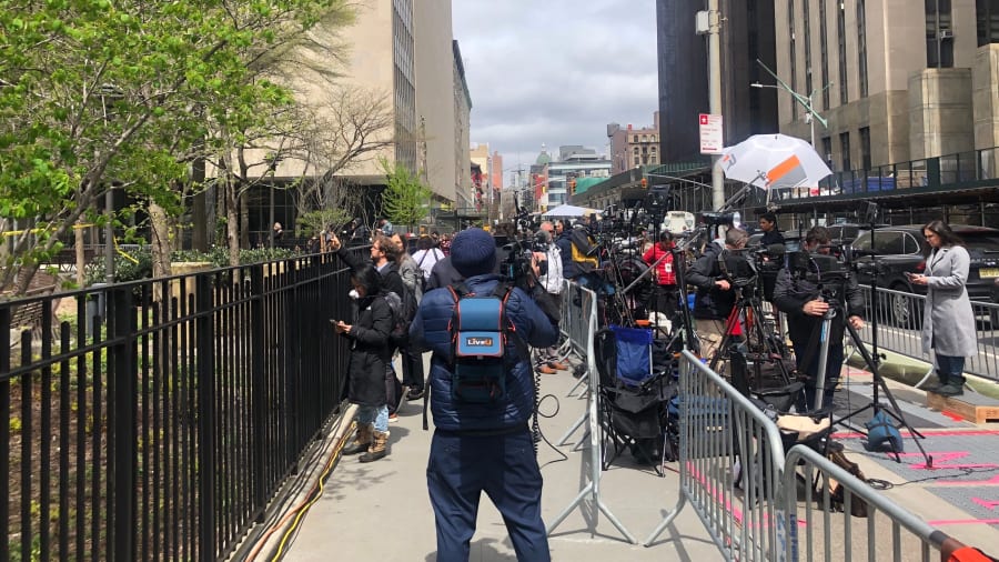
Judge locks up 'Three Percenter' militia members in Jan. 6 obstruction case
Advertisement


Stay informed and up-to-date with your local news, breaking news events, global events, savings events, solar eclipse news, and in-depth coverage on a wide range of topics. From politics and technology to entertainment and science, we bring you the latest news from around the world.


