news
NBC Universal
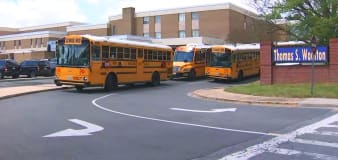
Maryland teenager accused of plotting school shooting in 129-page document
Scripps News
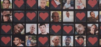
Families of hostages held in Gaza call for collective action
Reuters
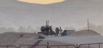
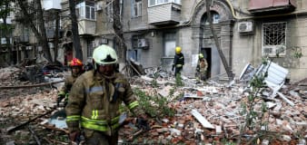
Israeli missiles hit site in Iran, ABC News reports
USA TODAY
Iran downplays reported Israeli attack; US 'not involved,' Blinken says: Live updates
CNN
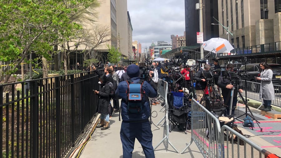
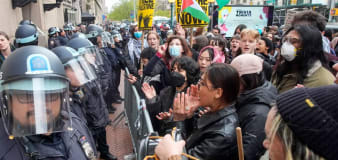
Students at more universities announce solidarity rallies after 108 pro-Palestinian activists are arrested at Columbia
Advertisement


Stay informed and up-to-date with your local news, breaking news events, global events, savings events, solar eclipse news, and in-depth coverage on a wide range of topics. From politics and technology to entertainment and science, we bring you the latest news from around the world.


