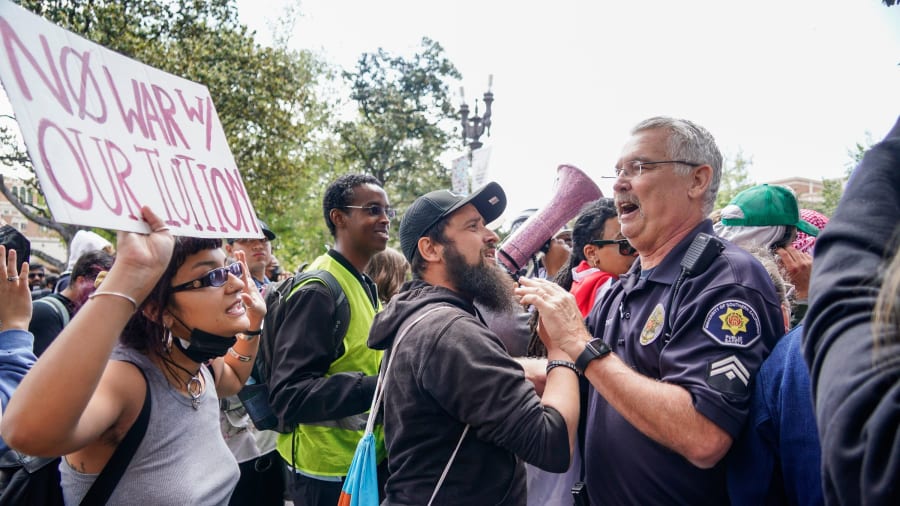
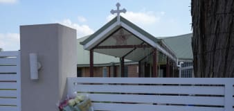
news
Associated Press
Australian police charge 5 teens in investigation stemming from stabbing of Sydney bishop
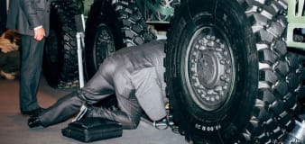
CNN
Selling weapons ‘like vacuum cleaners’: Photographer’s look at the bizarre world of global arms fairs
USA TODAY
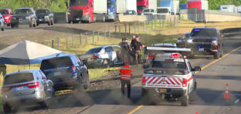
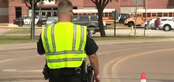
Pickup truck hits and kills longtime Texas deputy helping at crash site
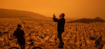
Time
See Athens blanketed by orange haze due to Sahara dust storm
USA TODAY
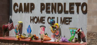
Marine in helicopter unit dies at Camp Pendleton during 'routine operations'
Advertisement


Stay informed and up-to-date with your local news, breaking news events, global events, savings events, solar eclipse news, and in-depth coverage on a wide range of topics. From politics and technology to entertainment and science, we bring you the latest news from around the world.


