news
Reuters
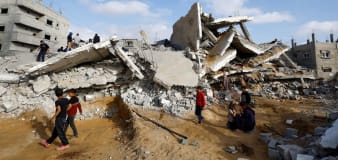
Some US officials say in internal memo Israel may be violating international law in Gaza
Reuters
Fragile pope back on the road with day trip to Venice
CNN
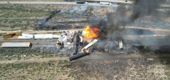
Evacuations ordered after dozens of train cars derailed near New Mexico state line, some carrying propane
The Hill
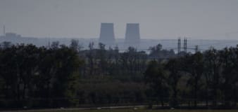
Russia targets Ukrainian energy sector in latest round of attacks
BBC
Keith Siegel and Omri Miran: Video shows US and Israeli hostages alive in Gaza
Advertisement


Stay informed and up-to-date with your local news, breaking news events, global events, savings events, solar eclipse news, and in-depth coverage on a wide range of topics. From politics and technology to entertainment and science, we bring you the latest news from around the world.


