news
Associated Press
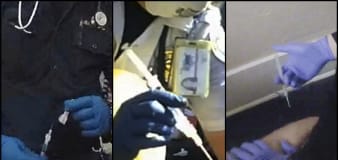
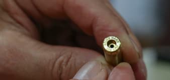
Dozens of deaths reveal risks of injecting sedatives into people restrained by police
NBC Universal
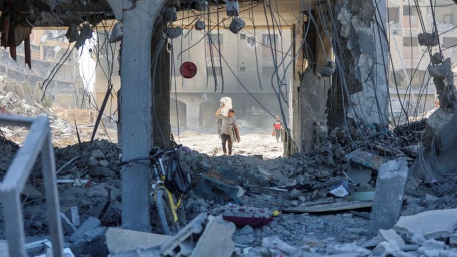
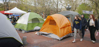
As USC cancels commencement, Columbia students worry theirs could be disrupted
NBC Universal
China warns U.S. of ‘downward spiral’ as Blinken meets with Xi Jinping
CNN
Iranian rapper Toomaj Salehi sentenced to death for protesting
Fox News
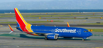
Florida man arrested for allegedly pointing lasers at passenger aircraft at international airport: Police
Advertisement


Stay informed and up-to-date with your local news, breaking news events, global events, savings events, solar eclipse news, and in-depth coverage on a wide range of topics. From politics and technology to entertainment and science, we bring you the latest news from around the world.


